Recent searches
Search options
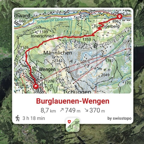
If you plan hiking or mountaineering trips in Switzerland I can highly recommend the apps and/or website of Swisstopo:
Android: https://play.google.com/store/apps/details?id=ch.admin.swisstopo
iOS: https://apps.apple.com/us/app/swisstopo/id1505986543
Web: https://map.geo.admin.ch
The world-renowned Swiss maps are available for everyone to use. In the mobile apps you can easily plan routes, it shows you elevation gain/loss, expected hiking time, location, etc. For offline use, you can download the part of the map you need to your phone.
Decided spontaneously I need to get out in the open tomorrow. Going to explore an area where I have not been yet. Weather will be suboptimal compared to today, but at least it should be dry. And otherwise I'll get wet
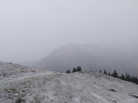
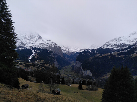
Well, that paid off. Felt super to be on the mountain. At the elevation of 1400 m (4600 ft) even a little bit of snow fell. After getting to the highest point and descending to Wengen I came to the perfect spot for a view over the Lauterbrunnen Valley (can compete with Yosemite anytime in my opinion). On the left you see the downhill slope for the ski worldcup which will be held this coming weekend.
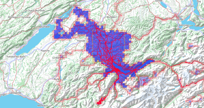
I track my hikes (and rides, runs, swims, etc) with GPS and upload them to Strava. From there they loaded into Veloviewer. Besides detailled stats (where I'm not really so interested in), you can also collect tiles (world divided in square miles). When you cross one, you collect it. All connected collected tiles are called a cluster. In this way you can easily see where you have never been and can start exploring. Today was such a day. Sometimes a disappointment, today more like a hidden gem.
@bergmeister And it has a lot more usefull functions like official hiking trails, snow shoe trails, ski touring routes, public transport stops and much more.
Furthermore the maps are top quality and very detailed.
@bergmeister
That's awesome! I've been meaning to give #veloviewer a try, but haven't yet. I already have too many technological distractions.

